File:1869 Blanchard's map of Chicago and Environs.jpg
Jump to navigation
Jump to search

Size of this preview: 489 × 600 pixels. Other resolutions: 196 × 240 pixels | 391 × 480 pixels | 626 × 768 pixels | 835 × 1,024 pixels | 1,670 × 2,048 pixels | 5,120 × 6,279 pixels.
Original file (5,120 × 6,279 pixels, file size: 6.41 MB, MIME type: image/jpeg)
Captions
Captions
Add a one-line explanation of what this file represents
Summary
[edit]
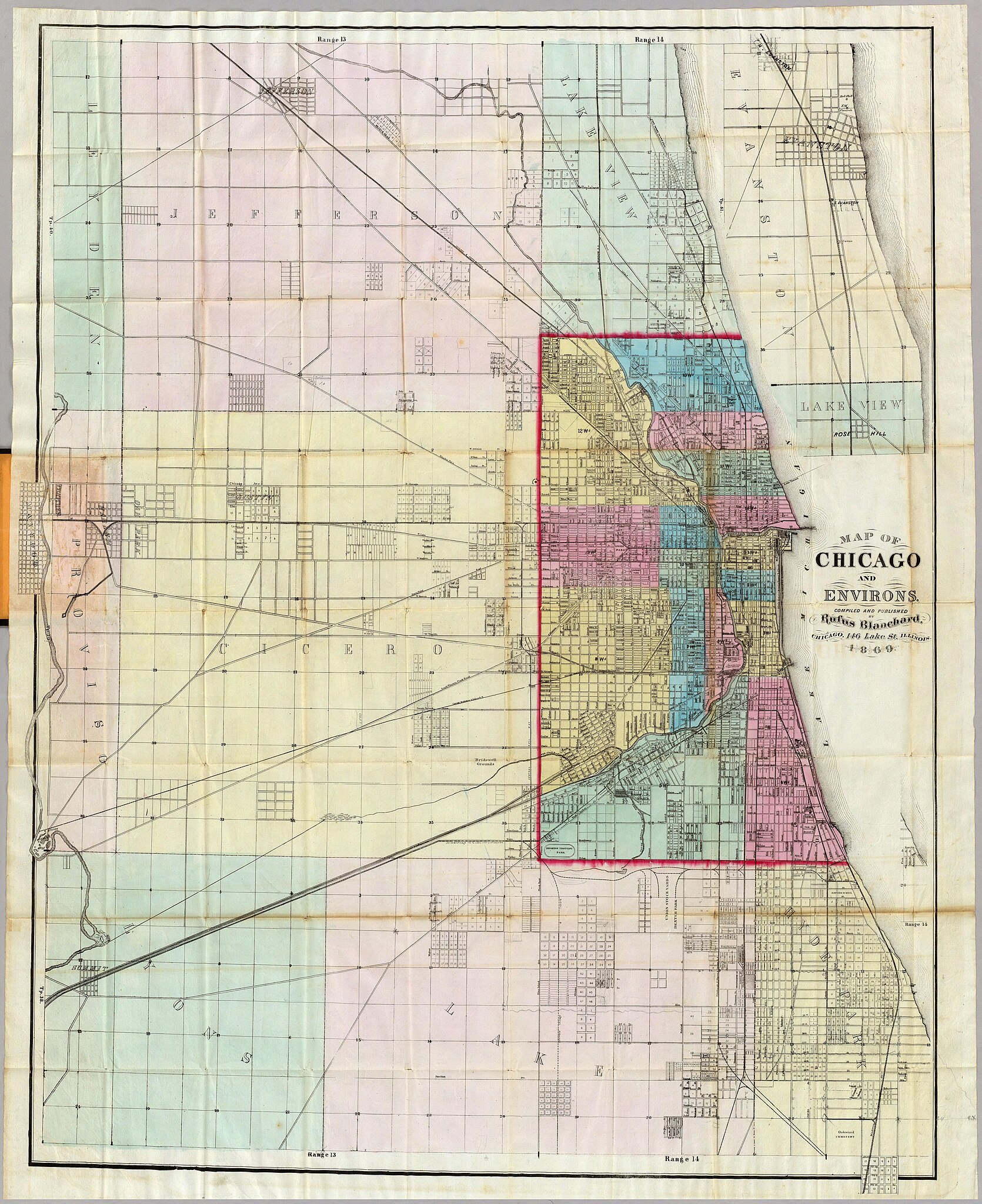
1869 map of Chicago from davidrumsey.com, shrunk to 50% as I couldn't get it to save properly otherwise.
Licensing
[edit]
|
This work is in the public domain in its country of origin and other countries and areas where the copyright term is the author's life plus 70 years or fewer. | |
| This file has been identified as being free of known restrictions under copyright law, including all related and neighboring rights. | |
File history
Click on a date/time to view the file as it appeared at that time.
| Date/Time | Thumbnail | Dimensions | User | Comment | |
|---|---|---|---|---|---|
| current | 09:14, 12 August 2005 | | 5,120 × 6,279 (6.41 MB) | SPUI~commonswiki (talk | contribs) | {{PD}} 1869 map of Chicago from [http://www.davidrumsey.com/ davidrumsey.com], shrunk to 50% as I couldn't get it to save properly otherwise. category:Maps of Chicago |
| 08:45, 12 August 2005 | No thumbnail | 0 × 0 (19.61 MB) | SPUI~commonswiki (talk | contribs) | {{PD}} 1869 map of Chicago from [http://www.davidrumsey.com/ davidrumsey.com]. category:Maps of Chicago |
You cannot overwrite this file.
File usage on Commons
The following page uses this file:
- File:1869 chicago vicinity.jpg (file redirect)